Mexico GIS demographics: Fraccionamiento Kaná, Poza Rica

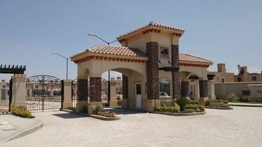
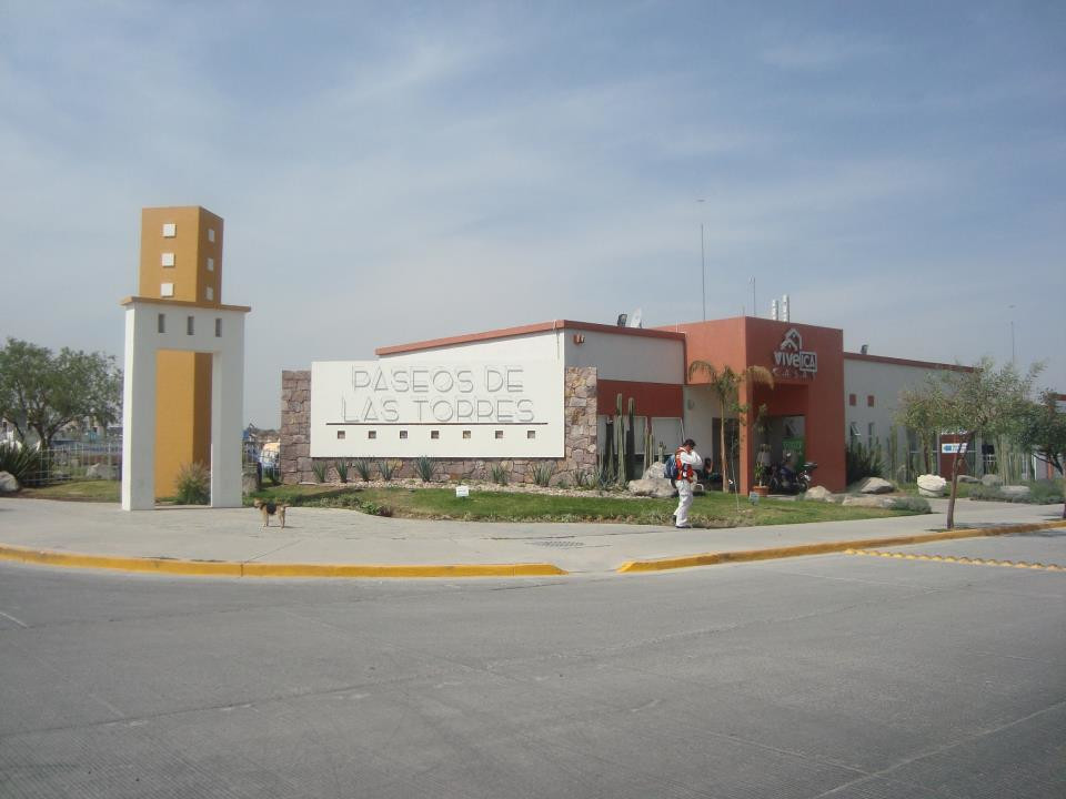
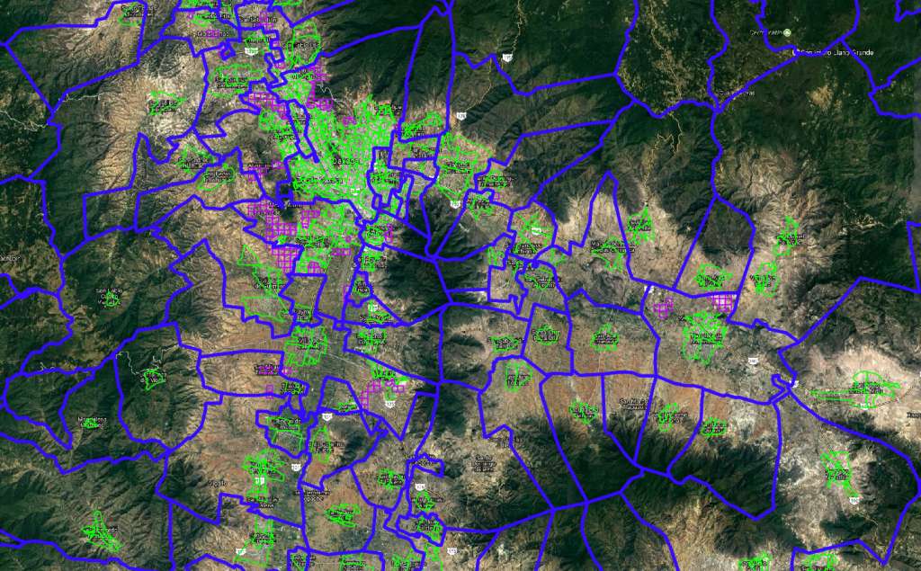
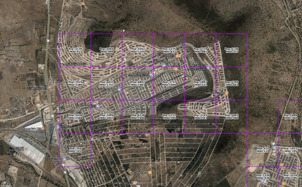
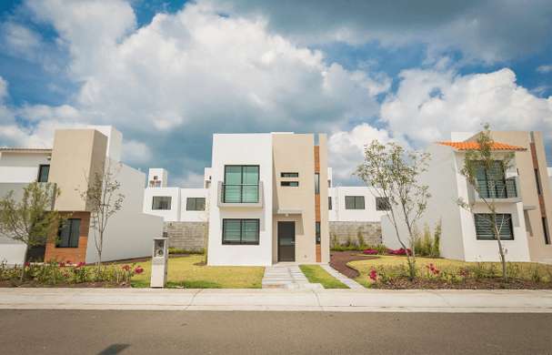
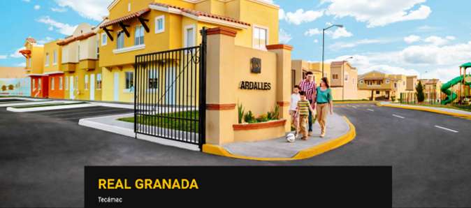
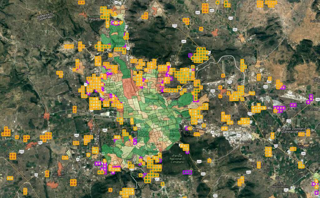
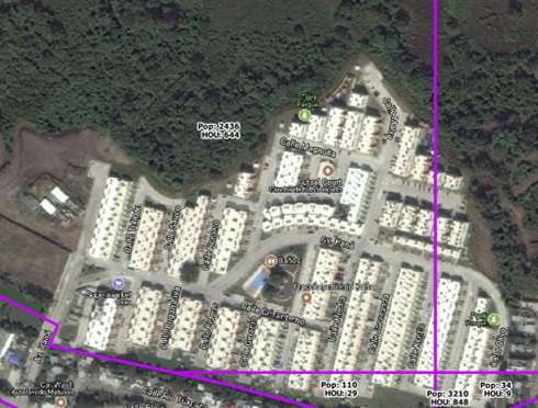
Anyone who pays attention to the demographics of Mexico knows that residential development can be verge on the erratic.  In a medium-sized city, you may see a plot of brushy, vacant farmland transformed into a community of thousands in just a few months.  Then, you might not see any new development in that city for […]

Read More
Mexico demographics snapshot: Los Viñedos, Pachuca

Part of updating our Mexico demographic data is “fact checking” the new residential growth areas that have appeared in our Growth Grids Add-on product.  When we completed our 2017 demographics review, we handpicked a few of these growth stories to put in context through a blog post.  Today, we’d like to take you to Pachuca, […]

Read More
Mexico demographic data snapshot: Paseos de la Torre, León

Standing in the middle of what was very recently a patch of bare dirt, a community of 29,000 people can now be seen – if you know to look for it.  Unfortunately, Censo 2010 demographics won’t even show that this community exists, because development didn't start until after the demographic data were collected.  On the […]

Read More
Municipios for Mexico demographic data - what's the purpose?

In 2018, it seems like “more” is always better.  More options.  More insights.  More data.  But when it comes to Mexico demographic data, some users would rather have a high-level view.  That’s why we occasionally get requests for Mexico demographic data at the municipio level, a notch or two less granular than our main product […]

Read More
Mexico demographics are changing; why aren't Mexico demographic data changing too?

It’s human nature to push boundaries.  In the location intelligence world, that’s part of what we all do every day.  There’s probably not a business analyst or GIS analyst out there who hasn’t used a dataset to solve a problem it was never meant to solve.  That creative repurposing of data is part of the […]

Read More
Mexico demographics snapshot: Horizontes Residencial, Irapuato

This is the time of year when GeoAnalitica releases the latest vintage of Mexico demographic data.  This year’s release, covering 2017, has discovered over a million people not covered by other data sources: neither by INEGI’s Censo 2010, nor even GeoAnalitica’s own 2016 Mexico demographics.  There are growth stories unfolding across Mexico every year, and […]

Read More
Mexico demographic data snapshot: Fracc. Real Granada, Tecámac

Recently on the GeoAnalitica blog, we’ve been digging deep into some of the thousands of growth stories taking place in our Growth Grids Add-on dataset, to show how this product helps fill in the gaps left by Mexico Censo 2010 demographics.  Because Mexico AGEBs were defined by INEGI for a particular purpose, at one point […]

Read More
The manzana in Mexico demographics: big data, small areas, and plenty of risks

One question that we get – rarely, but occasionally – is on the availability of manzana level GIS data for Mexico, whether that’s manzana boundaries or manzana demographics.  There are more than a million manzanas delineated by INEGI, covering urban areas.  While that alone sounds like a compelling reason to use these shapefiles for demographic […]

Read More
Mexico demographics snapshot: Gran Santa Fe Norte, Mérida

Mexico Censo AGEBs are a great tool for location intelligence, but they don’t tell the whole story.  To fill in the gaps, GeoAnalitica developed a process to create Growth Grids, boundaries that encapsulate areas of new growth beyond the urban boundary. As we roll out more than 3,000 new Growth Grids for 2017, we’d like […]

Read More
Newly released: 2017 Mexico demographic data

GeoAnalitica is pleased to announce this week’s release of our 2017 vintage Mexico demographic data estimates.  We employ a unique methodology that uses multiple change-aware data sources to pinpoint the location and magnitude of population growth, and use that information to adjust Mexico demographic data to give the most realistic growth-adjusted picture of all of […]

Read More
Back to All Blogs
© GeoAnalitica 2021
GeoAnalitica